|
|||||
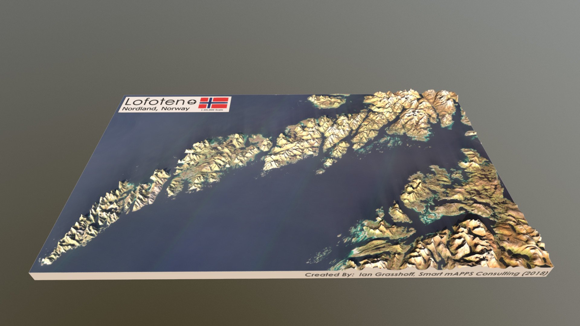
| Lofoten, Norway Map (1:400,000 Scale) 3D Model |

|


|
| Model's Description: Lofoten, Norway Map (1:400,000 Scale) 3d model contains 1,292,938 polygons and 651,058 vertices. Order a 8.5”x14” 3D Print Lofoten is an archipelago and a traditional district in the county of Nordland, Norway. Lofoten is known for a distinctive scenery with dramatic mountains and peaks, open sea and sheltered bays, beaches and untouched lands. Though lying within the Arctic Circle, the archipelago experiences one of the world’s largest elevated temperature anomalies relative to its high latitude. Source: Wikipedia Data Sources: Norwegian Mapping Authority (Elevation), ESA (Imagery) - Lofoten, Norway Map (1:400,000 Scale) - 3D model by smartmAPPS |
| Model's Textures: (2) RGB Texture #1 RGB Texture #2 |
| Keywords: landscape norway map topography |
models.ripper@gmail.com |
||||